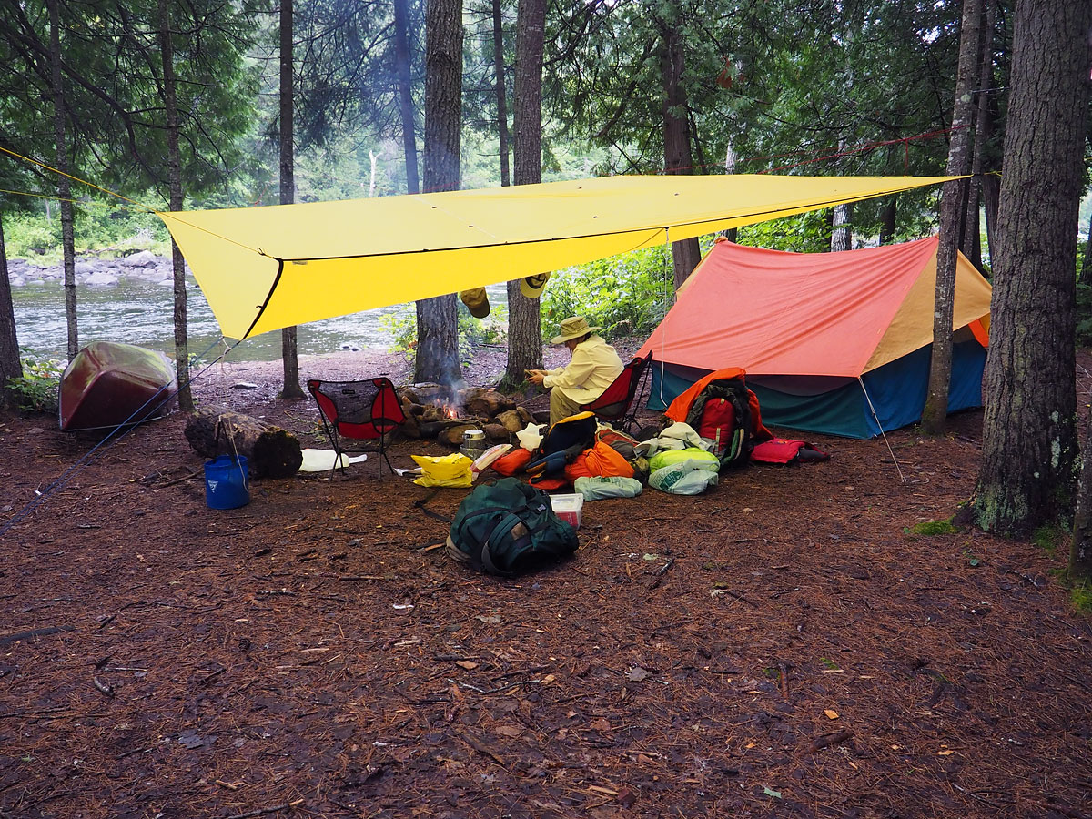
Our campsite at the second take-out at Crooked Chute. In retrospect, this was an excellent choice of campsite.
Our campsite at the second take-out at Crooked Chute. In retrospect, this was an excellent choice of campsite.
This photo appears on the bushlog page Trip Log - The Petawawa River from Lake Travers to McManus Lake
Show this photo's location on a map (46.0662 -77.9113)
View other photos taken at this location: Algonquin Park Petawawa River Crooked Chute (Petawawa River) Crooked Chute
View other photos taken on this date: 2016 September 10; during this month: 2016 September; during this year: 2016.