(photo by Bob: 2008-03-21 - map - explore)
Icicle
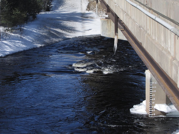
Petawawa River at the Highway 17 Bridge.
The markings on the bridge pier (units are feet) are used by the local whitewater paddlers to assess the flow. There is also an Environment Canada real time flow gauge at this location.