(photo by Bob: 2008-07-15 - map - explore)
U-Shaped Valley
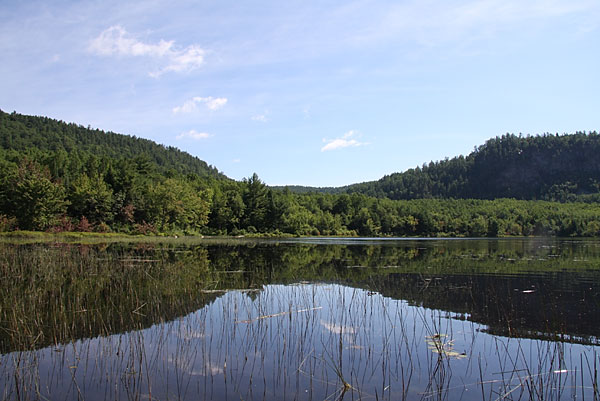
I was sitting in my canoe in Turtle Lake (located at the top of Presqu'isle Bay) and was looking north-east into Quebec and was impressed by the shape of this valley. I wondered whether it was glacial in origin and whether it had anything to do with the formation of Upper and Lower Presqu'isle.
I continue to be intrigued by Upper and Lower Presqu'isle. What is their origin? As far as I am aware, the beaches at Presqu'isle are the only gravel beaches in the area. How did they form? An esker? A moraine? Fluvial gravel bars? Something else?